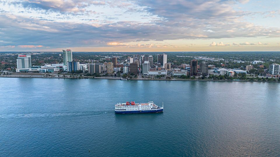
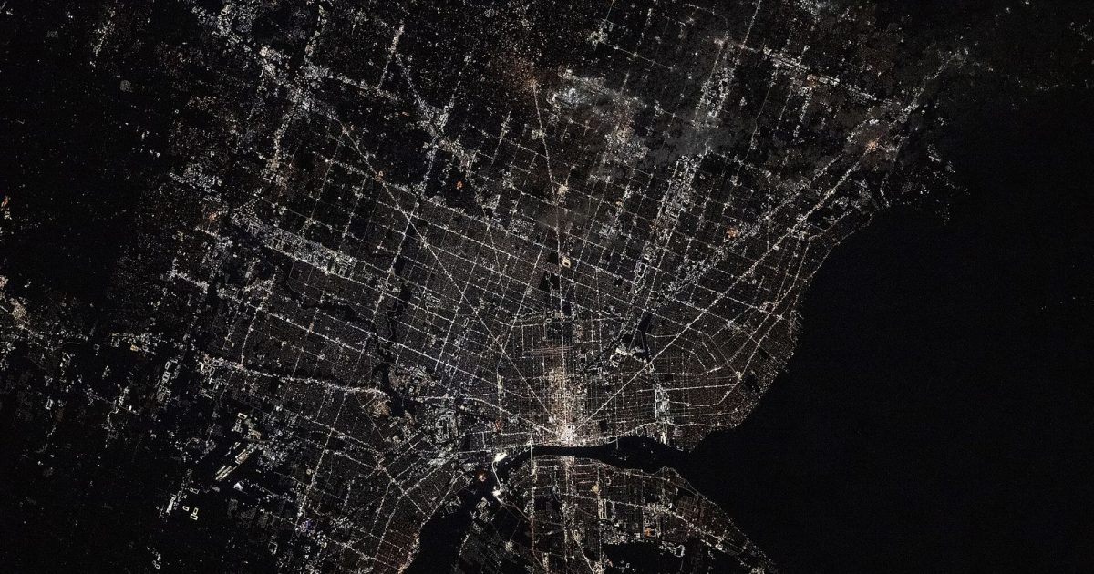
42°19′ N   83°02′ WINDEPENDENT CITY GUIDE · HU / ENMETRO DETROIT · 4.4 million
QUARTER
DETROIT
Menu

Events

Eat & drink

Things to do

Stay

For hotels

Shows & music

Getting around

People & community

About usFor venues

Places Metro Detroit ¼

The map, explainedWhat is Metro Detroit?

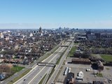
649,095 people live in the city of Detroit. Add the towns, villages and townships around it and you get a region of 4.4 million: that’s Metro Detroit. 84 percent of the people in the three core counties live outside the city limits, which is why you see the name everywhere.

01 / Why everywhere?

Why does everything say Metro Detroit?

Because “Detroit” means two things. One is a city with its own limits. The other is a region of more than four million people where folks live, work, eat and go out, and where most of daily life actually happens.

Drive around the region and “Metro Detroit” is everywhere: on billboards, in the names of car dealers, clinics and repair shops, in the TV weather forecast. The reason is simple: businesses, media and organizations don’t stop at the city line, they serve the whole region where their customers and viewers live. “Detroit” in the name points to the city; “Metro” says they cover the suburbs too.

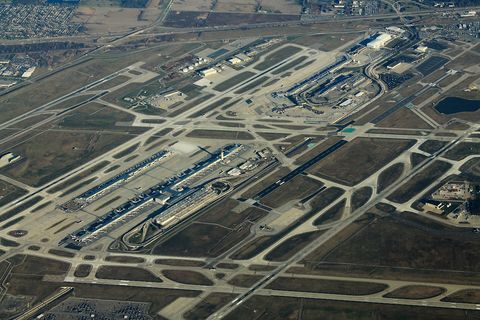
You meet it the moment you land: the airport’s official name is Detroit Metropolitan Wayne County Airport, and locals just call it Metro Airport, even though it’s in Romulus. The Detroit TV market is the 14th largest in the country and is watched across the river in Windsor too, so newscasts and forecasts naturally talk about “Metro Detroit.” The visitors bureau, the chamber of commerce and the parks system all carry regional names as well.

One small catch: not every “Metro” sign is about the region. Some national brands use the word with no connection to Detroit at all.

  • Airport: its official name is Detroit Metropolitan Wayne County Airport, the nickname is Metro Airport, and even its website lives at metroairport.com, though the airport is in Romulus, not Detroit.
  • TV: the Detroit television market is the 14th largest in the US and reaches viewers in Windsor; WDIV (NBC) weather headlines literally say “Metro Detroit.”
  • Tourism: Visit Detroit’s official name is the Detroit Metro Convention & Visitors Bureau, and by its own description it promotes metro Detroit, working across Wayne, Oakland and Macomb counties and with Windsor.
  • Press: the Detroit Metro Times, a free alternative weekly since 1980, is handed out across the city and its suburbs.
  • Parks: Metroparks signs come from the Huron-Clinton Metropolitan Authority, which voters in five counties approved in 1940; here too, “Metro” means the metropolitan region.
  • Business: the Detroit Regional Chamber says it serves the business community of the 11-county Southeast Michigan region, not just the city.

The City of Detroit is smaller than you’d think, and its region is huge. At the 2020 census, only about one in seven people in the six-county metro area lived inside city limits; everyone else lived in the surrounding cities and townships, and nine in ten lived in the three core counties of Wayne, Oakland and Macomb. A city guide that stopped at 8 Mile would skip most of the place.

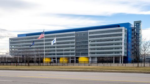
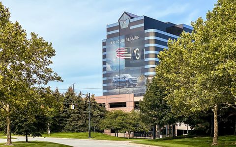
A lot of the big names sit outside the city, too. The airport (DTW) is in Romulus, about 18 miles southwest of downtown. Ford’s new world headquarters, opened November 16, 2025, is in Dearborn; Stellantis runs North America from Auburn Hills; and the Detroit Zoo is in Royal Oak, even though the City of Detroit owns it.

Pro sports spent decades in the suburbs as well. The Detroit Lions played at the Pontiac Silverdome from 1975 to 2001 and only moved back downtown to Ford Field in 2002. The Pistons played at the Silverdome from 1978 to 1988, then at the Palace of Auburn Hills until 2017.

That’s why Quarter Detroit labels places like “Ferndale — Metro Detroit”: the spot isn’t inside the City of Detroit, but it’s part of the same region. The same buses, airport, museum and zoo taxes, water system and TV newscasts tie it to the city, so a Detroit day can easily take you there.
02 / The map

Four rings, one region

Tap through the rings: the city, the three counties, the six-county metro area and the ten-county wider region. Pulsing dots show this week’s events, and any town opens its own page.

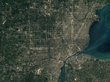
Satellite map of Metro Detroit with county lines, the Detroit city limits and town boundaries. Allen ParkArmadaAuburn HillsBellevilleBerkleyBirminghamBloomfield Charter TownshipBloomfield HillsBrownstown Charter TownshipCantonCenter LineChesterfield TownshipClarkstonClawsonClinton Charter TownshipCommerce TownshipDearbornDearborn HeightsEastpointeEcorseFarmingtonFarmington HillsFerndaleFlat RockFraserGarden CityGibraltarGrosse Ile TownshipGrosse PointeGrosse Pointe FarmsGrosse Pointe ParkGrosse Pointe ShoresGrosse Pointe WoodsHamtramckHarper WoodsHarrison Charter TownshipHazel ParkHighland ParkHollyHuntington WoodsInksterLake OrionLathrup VillageLincoln ParkLivoniaMacomb TownshipMadison HeightsMelvindaleMilfordMount ClemensNew BaltimoreNorthvilleNorthville TownshipNoviOak ParkOxfordPleasant RidgePlymouthPlymouth Charter TownshipPontiacRedford Charter TownshipRichmondRiver RougeRiverviewRochesterRochester HillsRomeoRomulusRosevilleRoyal OakShelby Charter TownshipSouth LyonSouthfieldSouthgateSt. Clair ShoresSterling HeightsTaylorTrentonTroyUticaVan Buren Charter TownshipWalled LakeWarrenWashington TownshipWaterfordWayneWest Bloomfield Charter TownshipWestlandWixomWoodhavenWyandotteAlgonacBrightonHowellLapeerMarine CityPort HuronSt. ClairAnn ArborChelseaDexterFlintMonroeSalineYpsilantiYpsilanti Charter Township GENESEE COUNTYLAPEER COUNTYLENAWEE COUNTYLIVINGSTON COUNTYMACOMB COUNTYMONROE COUNTYOAKLAND COUNTYST. CLAIR COUNTYWASHTENAW COUNTYWAYNE COUNTY DetroitAllen ParkArmadaAuburn HillsBellevilleBerkleyBirminghamBloomfieldBloomfield HillsBrownstownCantonCenter LineChesterfieldClarkstonClawsonClintonCommerceDearbornDearborn HeightsEastpointeEcorseFarmingtonFarmington HillsFerndaleFlat RockFraserGarden CityGibraltarGrosse IleGrosse PointeGrosse Pointe FarmsGrosse Pointe ParkGrosse Pointe ShoresGrosse Pointe WoodsHamtramckHarper WoodsHarrisonHazel ParkHighland ParkHollyHuntington WoodsInksterLake OrionLathrup VillageLincoln ParkLivoniaMacombMadison HeightsMelvindaleMilfordMount ClemensNew BaltimoreNorthvilleNorthvilleNoviOak ParkOxfordPleasant RidgePlymouthPlymouthPontiacRedfordRichmondRiver RougeRiverviewRochesterRochester HillsRomeoRomulusRosevilleRoyal OakShelbySouth LyonSouthfieldSouthgateSt. Clair ShoresSterling HeightsTaylorTrentonTroyUticaVan BurenWalled LakeWarrenWashingtonWaterfordWayneWest BloomfieldWestlandWixomWoodhavenWyandotteAlgonacBrightonHowellLapeerMarine CityPort HuronSt. ClairAnn ArborChelseaDexterFlintMonroeSalineYpsilantiYpsilanti Lake St. ClairLake ErieCanadaWindsor
Imagery: EOxCloudless 2016 · EOX IT Services GmbH · contains modified Copernicus Sentinel data 2016 · CC BY 4.0 · U.S. Census Bureau, Cartographic Boundary Files 2023

What locals usually mean

The three counties

Population, estimate
3,943,596
Land area
1,958 sq mi
Counties
3

Wayne, Oakland and Macomb counties. When a Detroiter says “Metro Detroit,” this is usually it: the airport, Ford’s headquarters, the zoo and all the suburban bars and restaurants are here.

  • Wayne County
  • Oakland County
  • Macomb County

Your location stays in your browser; nothing is sent anywhere.

Pulsing dot: events this week. It flashes red when something’s on today.

03 / The big move

The city shrank, the region grew

In 1950 Detroit was the fifth biggest city in America. Then came the freeways, the subdivisions and the malls, and people moved past the city line. The region didn’t empty out; it spread out.

  • City of Detroit
  • Rest of the three counties
Bar chart from 1900 to today: population of the city of Detroit and of the rest of the three core counties. 1.0 million2.0 million3.0 million4.0 million19001900: City of Detroit 285,704, Rest of the three counties 141,125 19101910: City of Detroit 465,766, Rest of the three counties 148,007 19201920: City of Detroit 993,678, Rest of the three counties 312,120 19301930: City of Detroit 1,568,662, Rest of the three counties 608,681 19401940: City of Detroit 1,623,452, Rest of the three counties 753,877 19501950: City of Detroit 1,849,568, Rest of the three counties 1,166,629 19601960: City of Detroit 1,670,144, Rest of the three counties 2,092,216 19701970: City of Detroit 1,511,482, Rest of the three counties 2,688,449 19801980: City of Detroit 1,203,368, Rest of the three counties 2,840,868 19901990: City of Detroit 1,027,974, Rest of the three counties 2,884,705 20002000: City of Detroit 951,270, Rest of the three counties 3,092,197 20102010: City of Detroit 713,777, Rest of the three counties 3,150,147 20202020: City of Detroit 639,111, Rest of the three counties 3,310,062 2025*2025: City of Detroit 649,095, Rest of the three counties 3,294,501
In 1950, 61 percent of the three counties’ people lived in the city of Detroit. By 2020 it was 16 percent. Source: US censuses 1900 through 2020; the starred column is the Census Bureau’s latest estimate.

04 / The towns

108 towns, each its own place

From the famous ones to the quiet little towns. Every card opens its own page: why the place matters, what to do there and what’s on today and this week.

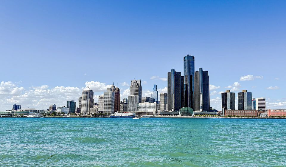
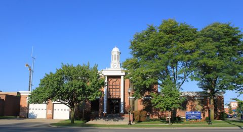
  1. 18 today City · Wayne Detroit The core the whole metro orbits: downtown, the riverfront and Belle Isle 649,095 peopleDowntown is here
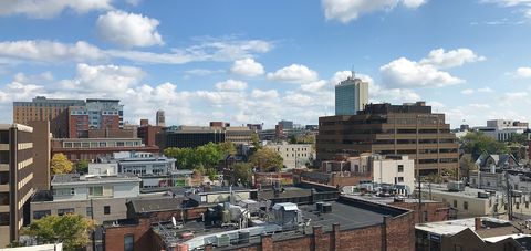
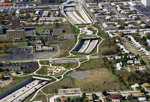
  2. 3 today City · Washtenaw Ann Arbor Tree Town: bookstores, big ideas and the biggest stadium in America 122,233 people35 mi from downtown
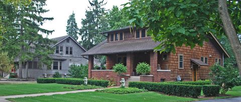
  3. 7 today City · Wayne Dearborn Henry Ford's hometown and the center of Arab American life 105,611 people9 mi from downtown
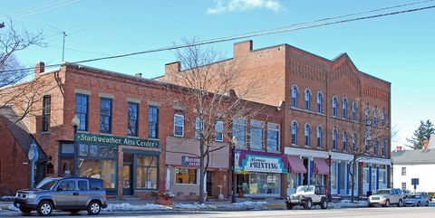
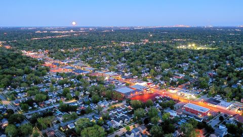
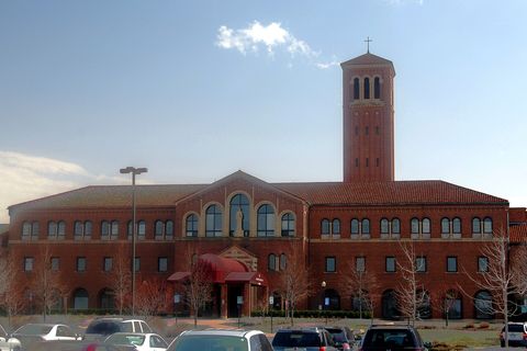
  4. 2 today City · Oakland Ferndale Where Woodward loosens its tie: bars, live shows and rainbow flags around 9 Mile 19,212 people10 mi from downtown
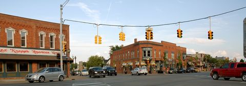
  5. 12 this week City · Oakland Rochester A brick Main Street between two creeks, lit up with a million lights every December 12,824 people25 mi from downtown
  6. 2 today City · Wayne Grosse Pointe Farms Where the shoreline turns: the real point in Grosse Pointe, lined with lake mansions 9,735 people9 mi from downtown
  7. 8 this week City · Oakland Pontiac County seat, old GM town and the Silverdome's memory at the north end of Woodward 62,077 people25 mi from downtown
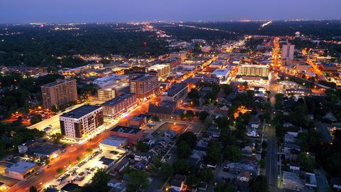
  8. 8 this week City · Oakland Royal Oak Concerts, a zoo, a market and nightlife: one of Oakland County's liveliest downtowns 57,583 people13 mi from downtown
  9. 1 today City · Washtenaw Chelsea Jiffy mix, Jeff Daniels' theater and a clock-tower railroad town 5,424 people50 mi from downtown
  10. 7 this week City · Wayne Livonia The big west-side suburb that became a city because of a racetrack 92,603 people17 mi from downtown
  11. 1 today City · Oakland Birmingham A walkable downtown with nearly 300 shops, plus Oakland County's oldest frame house 21,923 people17 mi from downtown
  12. 6 this week Charter township · Wayne Canton Sweet corn fields turned one of Michigan's biggest townships, with a Chinese name 99,714 people22 mi from downtown
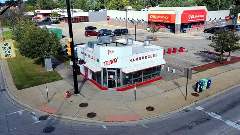
  13. 6 this week City · Wayne Hamtramck A tiny city inside Detroit where Polish bakeries sit next to Yemeni restaurants 27,261 people4 mi from downtown
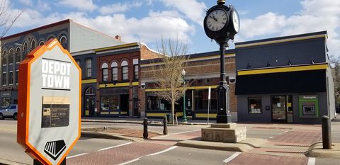
  14. 5 this week City · Washtenaw Ypsilanti Ypsi: brick-row Depot Town, an infamous water tower and a whole lot of attitude 19,766 people30 mi from downtown
  15. 4 this week Village · Macomb Armada Apple farms, cider and a country fair that's come every August since the 1870s 1,681 people36 mi from downtown
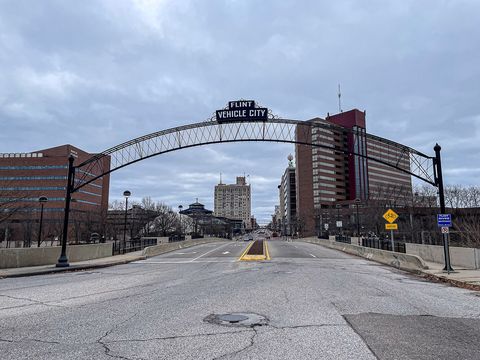
  16. 1 today City · Genesee Flint Vehicle City: birthplace of GM and home of the great sit-down strike 79,306 people58 mi from downtown
  17. 4 this week City · Wayne Grosse Pointe Park The Pointe closest to Detroit: Windmill Pointe mansions and Cabbage Patch eateries 11,095 people7 mi from downtown
  18. 4 this week Village · Oakland Holly Battle Alley, Carry Nation's ax and a Dickens Christmas in far northern Oakland County 5,906 people44 mi from downtown
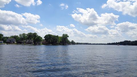
  19. 3 this week Charter township · Oakland Commerce Township Lakes, the Huron River and the Proud Lake woods: metro Detroit's western water playground 45,067 people28 mi from downtown
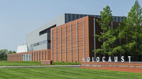
  20. 3 this week City · Oakland Farmington Hills A Holocaust museum, auto offices and the inn where Henry Ford courted Clara 83,291 people20 mi from downtown
  21. 3 this week Village · Oakland Oxford The Gravel Capital of the World: a two-block downtown on the Polly Ann Trail 23,066 people38 mi from downtown
  22. 1 today City · Macomb Sterling Heights From rhubarb fields to Ram trucks, with the Middle East and the Balkans at home 133,931 people17 mi from downtown
  23. 3 this week City · Macomb Warren Detroit's biggest suburb, where GM dreams up its cars and tanks once rolled out 137,138 people11 mi from downtown
  24. 1 today City · Oakland Bloomfield Hills Estates, wooded hills and Cranbrook, a cradle of American modern design 4,390 people20 mi from downtown
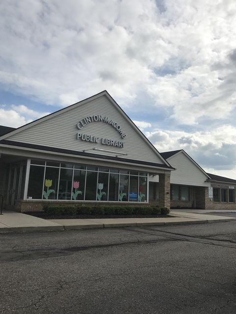
  25. 2 this week Charter township · Macomb Clinton Charter Township On the trail of a 1780s mission, where three branches become the Clinton River 101,374 people19 mi from downtown
  26. 2 this week Village · Macomb Romeo Victorian mansions, a peach festival and the area's spookiest Halloween street 3,750 people33 mi from downtown
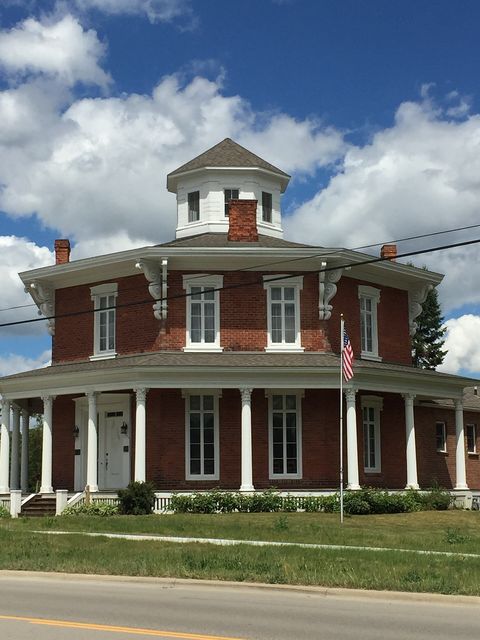
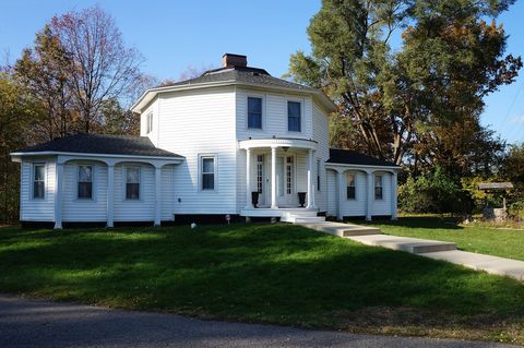
  27. 2 this week Charter township · Macomb Washington Township Orchards, an octagon house and the green, rolling north of Macomb County 29,229 people30 mi from downtown
  28. 1 this week City · Wayne Belleville The lakeside small town where three high school kids invented techno 3,851 people24 mi from downtown
  29. 1 this week City · Oakland Clarkston Michigan's smallest city by land area: a Victorian main street next door to Pine Knob 903 people34 mi from downtown
  30. 1 this week City · Washtenaw Dexter Cider since 1886, the Huron River and a 1966 "swamp gas" UFO mystery 4,461 people43 mi from downtown
  31. 1 this week City · Wayne Grosse Pointe Shores Straddling two counties on the lake: home of the Edsel & Eleanor Ford House 2,533 people12 mi from downtown
  32. 1 this week City · Macomb Mount Clemens Macomb's county seat and old mineral-bath town, where even Babe Ruth came to soak 15,419 people20 mi from downtown
  33. 1 this week City · Wayne Northville A Victorian small town straddling 8 Mile and two counties 6,013 people24 mi from downtown
  34. 1 today City · Oakland Novi Twelve Oaks, the Michigan State Fair and a big Japanese community on Walled Lake 67,319 people25 mi from downtown
  35. 1 this week City · Wayne Plymouth A small-town downtown around Kellogg Park, and the birthplace of the Daisy BB gun 9,164 people22 mi from downtown
  36. 1 this week Charter township · Macomb Shelby Charter Township Packard's old proving ground, Clinton River parks and the start of the Orchard Trail 80,415 people24 mi from downtown
  37. 1 this week Charter township · Oakland West Bloomfield Charter Township Oakland County's "lake township": waterfront homes, a rail trail and diverse communities 66,049 people24 mi from downtown
  38. City · St. Clair Algonac The Venice of Michigan: canals, Chris-Craft speedboats and the St. Clair delta 4,109 people33 mi from downtown
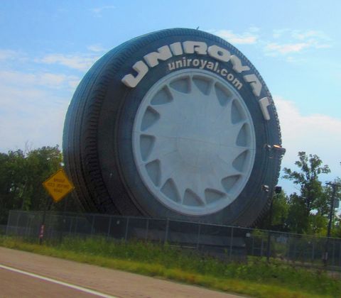
  39. City · Wayne Allen Park A giant tire on I-94, the Lions' practice home and a Hungarian Reformed church 27,445 people10 mi from downtown
  40. City · Oakland Auburn Hills Auto headquarters, a university campus and Michigan's biggest outlet mall on I-75 25,925 people26 mi from downtown
  41. City · Oakland Berkley Small-town main street, a vintage theater sign and its own car parade on Dream Cruise eve 15,145 people14 mi from downtown
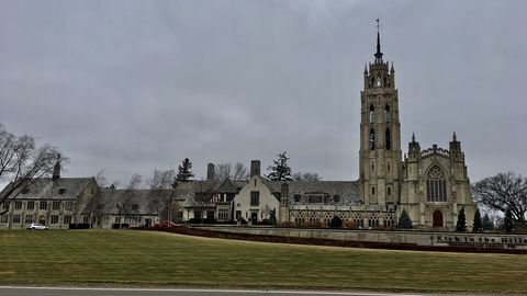
  42. Charter township · Oakland Bloomfield Charter Township Oakland County's oldest township: a legendary golf club, a Gothic church, lakes, estates 43,904 people21 mi from downtown
  43. City · Livingston Brighton A millpond downtown, lakes all around and a ski hill at the I-96 and US 23 crossroads 7,904 people40 mi from downtown
  44. Charter township · Wayne Brownstown Charter Township From Adam Brown's Wyandot village to a Lake Erie shore with a wave pool 32,680 people18 mi from downtown
  45. City · Macomb Center Line The city inside a city: Warren wraps around Center Line on every side 8,503 people10 mi from downtown
  46. Charter township · Macomb Chesterfield Township Anchor Bay shoreline, the memory of a 1964 tornado and a museum of cars and music 47,770 people27 mi from downtown
  47. City · Oakland Clawson From "Pumachug" to small town: an old main corner, catalog homes, fireworks since 1933 11,312 people15 mi from downtown
  48. City · Wayne Dearborn Heights A quiet bedroom city along the Rouge River parklands, right next to Dearborn 60,664 people12 mi from downtown
  49. City · Macomb Eastpointe Halfway, East Detroit, Eastpointe: three names and one legendary square pizza 33,814 people11 mi from downtown
  50. City · Wayne Ecorse A Downriver steel town on the river where Great Lakes freighters were once built 8,893 people7 mi from downtown
  51. City · Oakland Farmington A Quaker-founded small town with a brick main street, a 1940 movie house and a rink 11,409 people19 mi from downtown
  52. City · Wayne Flat Rock Huron River town with Henry Ford's lamp factory and, since 2005, the Mustang plant 10,218 people20 mi from downtown
  53. City · Macomb Fraser A railroad crossroads with German roots, where an 1875 farmhouse keeps the past 14,496 people15 mi from downtown
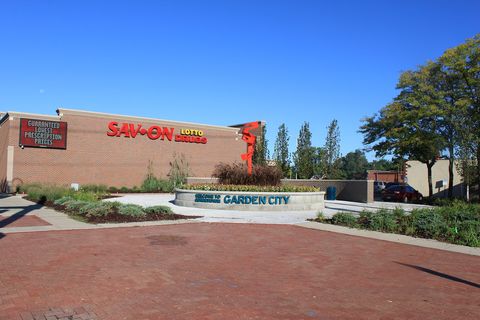
  54. City · Wayne Garden City Planned as a garden suburb, and the birthplace of Little Caesars and Kmart 26,280 people15 mi from downtown
  55. City · Wayne Gibraltar A small harbor town on the water where Tecumseh sprang his 1812 ambush 4,792 people18 mi from downtown
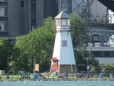
  56. Township · Wayne Grosse Ile Township An island in the Detroit River with a lighthouse, two bridges and a 250-year-old deed 10,409 people15 mi from downtown
  57. City · Wayne Grosse Pointe Heart of the five Pointes: the Village shops on Kercheval and lakeside mansions 5,490 people8 mi from downtown
  58. City · Wayne Grosse Pointe Woods The one Pointe without a shoreline: a postwar suburb along Mack Avenue 15,792 people11 mi from downtown
  59. City · Wayne Harper Woods A small suburb on I-94 where Bob Seger and Ted Nugent played a 1960s teen club 14,860 people10 mi from downtown
  60. Charter township · Macomb Harrison Charter Township Marinas, beaches and Selfridge, right where the Clinton River meets Lake St. Clair 23,984 people21 mi from downtown
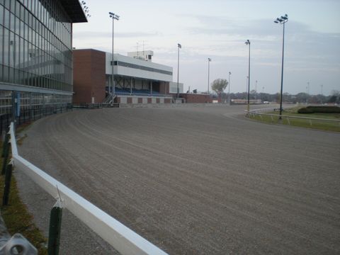
  61. City · Oakland Hazel Park "The Friendly City": a working town named for hazelnut bushes, with a racetrack past 14,937 people9 mi from downtown
  62. City · Wayne Highland Park Where the moving assembly line started and Chrysler was born 8,248 people6 mi from downtown
  63. City · Livingston Howell A county seat of hot-air balloons, melon ice cream and an 1881 opera house 9,896 people49 mi from downtown
  64. City · Oakland Huntington Woods "The City of Homes": English-style houses, a legendary golf course and a slice of the zoo 6,274 people12 mi from downtown
  65. City · Wayne Inkster Small city, big story: Motown's first No. 1 hit and Malcolm X's old home 24,959 people14 mi from downtown
  66. Village · Oakland Lake Orion A lake resort village with islands, a dragon legend and two rail-trails at its doorstep 38,882 people31 mi from downtown
  67. City · Lapeer Lapeer Michigan's oldest working courthouse and a summer festival over a century old 9,201 people51 mi from downtown
  68. City · Oakland Lathrup Village A 1920s model town planned by a woman, all brick and stone, wrapped by Southfield 4,019 people14 mi from downtown
  69. City · Wayne Lincoln Park Ford workers' bungalow town where Pontiac held council and the MC5 turned it up 38,529 people9 mi from downtown
  70. Township · Macomb Macomb Township Old German farms and log drives, with the Clinton still winding between subdivisions 95,099 people25 mi from downtown
  71. City · Oakland Madison Heights Freeway crossroads, 24-hour sliders and a county waterpark: the hardworking neighbor 28,297 people12 mi from downtown
  72. City · St. Clair Marine City Where Great Lakes captains lived: shipyard history, antiques and freighters 3,997 people38 mi from downtown
  73. City · Wayne Melvindale “The Little City with a BIG Heart,” built for Ford Rouge workers and ringed by rails 12,325 people8 mi from downtown
  74. Village · Oakland Milford A mill-pond village on the Huron River, next to GM's proving ground and Kensington 18,008 people33 mi from downtown
  75. City · Monroe Monroe An 1812 battlefield, Custer's hometown and Michigan's only Lake Erie state park 20,076 people34 mi from downtown
  76. City · Macomb New Baltimore A small-town downtown on Anchor Bay, with Michigan's tallest flagpole 12,123 people29 mi from downtown
  77. Charter township · Wayne Northville Township Woods, a state park and the site of a vanished hospital next door to Northville 31,399 people23 mi from downtown
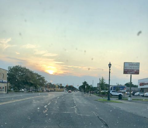
  78. City · Oakland Oak Park The 1950s' "fastest-growing city," where the freeway got plazas for Sabbath walks 29,072 people12 mi from downtown
  79. City · Oakland Pleasant Ridge A tiny, leafy historic town on both sides of Woodward, next door to the Detroit Zoo 2,592 people11 mi from downtown
  80. Charter township · Wayne Plymouth Charter Township The green ring around Plymouth, where Team USA's teenage hockey stars play 27,130 people23 mi from downtown
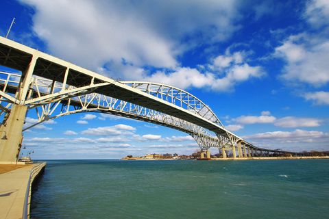
  81. City · St. Clair Port Huron Where Lake Huron pours into the river: a border bridge, a lighthouse and young Edison 28,273 people55 mi from downtown
  82. Charter township · Wayne Redford Charter Township The red ford on the Rouge: a big residential township on Detroit's west edge 47,432 people13 mi from downtown
  83. City · Macomb Richmond Three hamlets turned one small town, with a 1924 town clock and railroad roots 5,927 people36 mi from downtown
  84. City · Wayne River Rouge Where the Edmund Fitzgerald was launched: steel, ships and a mysterious hum 6,814 people6 mi from downtown
  85. City · Wayne Riverview Riverside town with an 1812 battlefield, a Cold War missile and 27 holes of golf 11,947 people13 mi from downtown
  86. City · Oakland Rochester Hills A Dodge mansion, a cider mill running since 1863 and Madonna's high school in the hills 77,539 people24 mi from downtown
  87. City · Wayne Romulus Where you land: Detroit's airport, Underground Railroad history and a pumpkin fest 24,547 people18 mi from downtown
  88. City · Macomb Roseville Gratiot Avenue, Macomb Mall and Michigan's first commercial airport 46,863 people13 mi from downtown
  89. City · Washtenaw Saline Salt springs, bagpipes and a small-town main street on the old Chicago Road 9,001 people39 mi from downtown
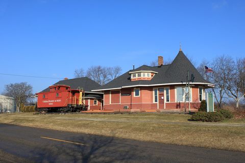
  90. City · Oakland South Lyon A witch's-hat train depot, a bike trail on the old rails and a tavern dating to 1867 12,107 people32 mi from downtown
  91. City · Oakland Southfield Gold-glass towers and Metro Detroit's second business hub, right above 8 Mile 76,111 people15 mi from downtown
  92. City · Wayne Southgate A 1950s boom suburb that may have taken its name from a shopping center 28,931 people12 mi from downtown
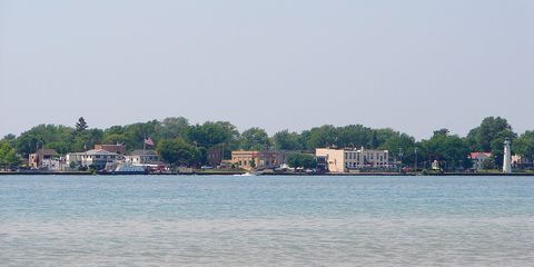
  93. City · St. Clair St. Clair A riverfront boardwalk, a 1926 inn and salt under your feet 5,833 people44 mi from downtown
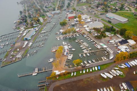
  94. City · Macomb St. Clair Shores Michigan's boating capital: canals, marinas and the Nautical Mile on Lake St. Clair 57,872 people14 mi from downtown
  95. City · Wayne Taylor Home of Little League world champs, the first Hungry Howie's and a Hungarian club 61,279 people14 mi from downtown
  96. City · Wayne Trenton Michigan's first county park and the Detroit River's last wild shoreline, in one town 17,849 people15 mi from downtown
  97. City · Oakland Troy Big Beaver office towers, a mall with a skywalk and a village's worth of 1800s history 88,733 people18 mi from downtown
  98. City · Macomb Utica A little river town that bet everything on a canal and a railroad in 1838 5,114 people21 mi from downtown
  99. Charter township · Wayne Van Buren Charter Township Belleville Lake, Willow Run Airport and Rawsonville, a village partly lost to the lake 29,770 people24 mi from downtown
  100. City · Oakland Walled Lake A lakeside small town with amusement park memories, a sandy beach and the Air Line Trail 7,320 people26 mi from downtown
  101. Charter township · Oakland Waterford Thirty-four lakes, a sandy beach on Cass Lake and the county airport next to Pontiac 69,922 people29 mi from downtown
  102. City · Wayne Wayne A Michigan Avenue tavern stop turned Ford town, where the Bronco gets built 17,065 people18 mi from downtown
  103. City · Wayne Westland The city that named itself after a mall. Seriously. 82,333 people17 mi from downtown
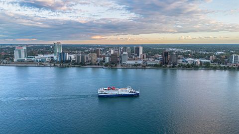
  104. Canadian city Windsor Detroit's Canadian mirror: skyline views, whisky and three ways across the river 229,660 people1 mi from downtown
  105. City · Oakland Wixom Where Thunderbirds and Town Cars were built, with a new downtown on Pontiac Trail 17,313 people28 mi from downtown
  106. City · Wayne Woodhaven A young I-75 town that borrowed its name from a corner of Queens 12,503 people17 mi from downtown
  107. City · Wayne Wyandotte Old riverfront mill town where America first made Bessemer steel 24,072 people10 mi from downtown
  108. Charter township · Washtenaw Ypsilanti Charter Township Home of Willow Run: the bomber plant, a flight museum and Ford Lake 53,721 people29 mi from downtown

05 / Around the metro

What’s on beyond the city line?

Events outside the city in the days ahead, up to two per town, so you can see how wide the map really is.

All Metro Detroit events ↗

06 / 8 Mile

8 Mile: a road that’s also a line

Mile roads are Metro Detroit’s compass: east–west main roads about a mile apart, numbered by how many miles north of downtown you are. Zero is Michigan Avenue at Campus Martius, where it meets Woodward; after the Great Fire of 1805 a marker was laid there as the point of origin. Today’s extra-wide roads trace back to a 1924 rapid transit plan: the subway never got built, but the wide avenues stayed.

Don’t look for a 1 Mile or 3 Mile sign: roads south of 5 Mile go by their names, so the 3 Mile line is Plymouth Road, for example. Heading north, though, the numbers keep going, all the way to the 38 Mile line on the northern edge of Oakland and Macomb counties.

The famous one is 8 Mile. It was laid out in 1815 as Baseline Road during the survey of the Northwest Territory, the baseline of Michigan’s land survey still runs along it, and it happens to sit about eight miles north of Woodward and Michigan Avenue. Today it’s Detroit’s northern border and the line between Wayne County and Oakland and Macomb.

The Detroit Historical Society notes that the road also separates the city’s predominantly African American core from the mostly white suburbs to the north, which is why it became the symbol of the city-suburb divide. That divide has a concrete relic: in 1941 a developer built a half-mile, six-foot wall along Birwood Avenue just south of 8 Mile so the Federal Housing Administration would back loans for a white subdivision. The wall still stands, covered since 2006 with civil rights murals and on the National Register of Historic Places since 2021; the rest of the world learned the road’s name from Eminem’s 2002 film 8 Mile.

07 / Local lingo

A glossary for the car

Words you’ll hear on the radio, at the bar and at the next Michigan left.

Metro Detroit / Metro
Detroit’s metropolitan region: the city plus more than 200 surrounding municipalities. The short form sticks too; plenty of people just call the airport Metro Airport.
The D / the 313
Common shorthand for Detroit in music and media. 313 is the city’s area code and a badge of local pride; Detroit rappers name-check it often, Eminem included.
Motor City / Motown
Detroit’s best-known nicknames. Motor City nods to the auto industry; Motown is short for Motor Town and is also the name of the city’s famous musical legacy, the Motown sound.
Downriver
The Wayne County suburbs south of Detroit along the west bank of the Detroit River, like Wyandotte, Trenton, Allen Park, Lincoln Park, Southgate and Taylor. The name is literal: past Detroit the river bends south, so you go down the river to get there.
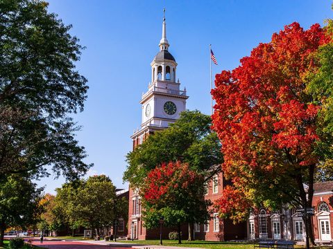
The Pointes
The five Grosse Pointes together: Grosse Pointe Park, Grosse Pointe, Grosse Pointe Farms, Grosse Pointe Shores and Grosse Pointe Woods, right east of Detroit on Lake St. Clair. The French name refers to the big point of land jutting into the lake.
Mile roads (8 Mile, 9 Mile…)
East–west main roads numbered by their distance north of downtown. If someone says they live off 12 Mile, you know roughly how far out that is.
Woodward
The region’s spine, M-1, running from downtown to Pontiac. It divides Detroit’s East Side from the West Side, and in 1909 the country’s first mile of concrete road was poured on it between 6 and 7 Mile.
248, 586, 734
Area codes that tell you where someone’s from: 248 (and 947) is Oakland County, 586 is Macomb, 734 covers western and Downriver Wayne County plus Washtenaw and Monroe. 313 stayed with Detroit and its closest Wayne County neighbors.
Up North
What Michiganders call the northern part of the state, the land of lakes and woods. Exactly where Up North begins is a debate that never gets settled.
The Thumb
Michigan’s Lower Peninsula is shaped like a mitten, and the Thumb is, well, the thumb: the peninsula poking into Lake Huron, with Huron, Tuscola and Sanilac counties and often Lapeer and St. Clair.
Animated diagram: two cars make a Michigan left, one from a boulevard with a grass median and one from the side street. 123123

On the boulevard and want to go left

  1. 1Go straight through the intersection in the inside lane.
  2. 2Make a U-turn at the crossover in the median.
  3. 3Head back to the intersection, turn right, and you’re there.
Coming up the side street and want to go left

  1. 1Stop, then turn right onto the boulevard.
  2. 2Make a U-turn at the crossover in the median.
  3. 3Head back straight through the intersection: that was your left turn.

Michigan left

Turning left? Go straight, then pull a U-turn.

No left turn: you go right or straight, then U-turn at a median crossover. Michigan invented it in the early 1960s, first at 8 Mile and Livernois in Detroit, and it cuts down on left-turn crashes.

What you can’t do: turn left right at the intersection, from either road.

Illustration, not a map of a real intersection. Source: Wikipedia

08 / How it got this way

From a fort to four million people

The region’s story in dates, from 1701 to today.

  1. 1701

    Antoine de la Mothe Cadillac and a party of about 100 pick a spot on the north shore of the Detroit River: Fort Pontchartrain du Détroit, the seed of today’s Detroit, is born.

  2. 1805

    The Great Fire levels nearly the whole town, with no one killed. Judge Augustus Woodward draws a radial, Washington-style street plan, and a point-of-origin marker is laid at Campus Martius, the spot later used to measure the mile roads.

  3. 1815

    The survey of the Northwest Territory lays out Baseline Road, today’s 8 Mile Road.

  4. 1900

    Four streetcar companies merge into the Detroit United Railway. By August 1901 its interurbans reach Pontiac, Port Huron, Flint, Ann Arbor, Jackson and Toledo, Ohio, stitching the region together.

  5. 1910

    Ford’s Highland Park Plant opens on Woodward Avenue; the Model T is built here, and the moving assembly line starts here in 1913.

  6. 1922

    Hamtramck incorporates as a city to fend off annexation by Detroit; Highland Park did the same in 1918. That’s how two independent cities ended up inside Detroit.

  7. 1926

    Detroit annexes land for the last time. Its borders haven’t changed since, so all later growth happened in the suburbs.

  8. 1928

    Ford’s River Rouge complex in Dearborn, outside the city limits, is completed: raw materials go in at one end and finished cars come out the other.

  9. 1929

    The Ambassador Bridge opens between Detroit and Windsor; the Detroit–Windsor Tunnel follows on November 3, 1930.

  10. 1930

    Wayne County Airport, today’s DTW, is dedicated in Romulus.

  11. 1940

    Voters in Livingston, Macomb, Oakland, Washtenaw and Wayne counties approve the shared Huron-Clinton Metroparks system.

  12. 1950

    Detroit hits its population peak: 1,849,568 people, fifth-largest city in the country.

  13. 1954

    Victor Gruen’s Northland Center opens in Southfield as the world’s largest shopping center and a milestone for regional malls in America. It closed in 2015.

  14. 1967

    A police raid on an unlicensed bar on 12th Street sparks five days of unrest that leave 43 people dead. According to the Detroit Historical Society, white flight from the city doubled that year and doubled again the next.

  15. 1974

    In Milliken v. Bradley the Supreme Court rules 5–4 that Detroit’s school segregation can’t be remedied by pulling in suburban districts unless those districts themselves violated the law.

  16. 1975

    The Pontiac Silverdome opens; the Detroit Lions play there through 2001 and only return downtown to Ford Field in 2002.

  17. 1988

    The Palace of Auburn Hills opens, home of the Detroit Pistons until 2017, when the team moves downtown to Little Caesars Arena; the Palace is demolished in 2020.

  18. 2012

    Wayne, Oakland and Macomb counties approve a shared tax for the Detroit Institute of Arts, and their residents get in free. The same year, state law creates the Regional Transit Authority (RTA).

  19. 2013

    Detroit files for bankruptcy, the largest municipal bankruptcy in US history by debt. It exits on December 10, 2014; the Detroit Institute of Arts collection moves to a nonprofit instead of being sold.

  20. 2016

    The Great Lakes Water Authority takes over most of Detroit’s water and sewer system on a 40-year lease: water becomes regional.

  21. 2024

    Census Bureau estimates show Detroit’s population growing for the first time since 1957; by May 2026 it’s three years in a row.

  22. 2026

    The Gordie Howe International Bridge opens to traffic, a new road link between Detroit and Windsor; its US end lands in Delray, Detroit’s old Hungarian neighborhood.

09 / What holds it together

What makes it one region?

  • DDOT (Detroit Department of Transportation) ↗

    Detroit’s city bus system and Michigan’s largest public transit provider. Per its website it runs 48 routes, also serving Highland Park, Hamtramck and 23 other nearby communities, and it honors the regional DART passes shared with SMART.

  • SMART ↗

    The suburbs’ buses. It started in 1967 as SEMTA and has run as SMART, the Suburban Mobility Authority for Regional Transportation, without Detroit since 1989. It serves Wayne, Oakland and Macomb counties: all of Macomb since 1995 and all of Oakland since 2023, while some Wayne County communities opt out.

  • RTA (Regional Transit Authority of Southeast Michigan) ↗

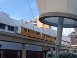
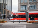
    The region’s shared transit authority, created by a 2012 state law. Its 10-member board is appointed by Wayne, Oakland, Macomb and Washtenaw counties, Detroit’s mayor and the governor. Per its website it operates the QLINE streetcar on Woodward, and the D2A2 express coach between Detroit and Ann Arbor, run by Michigan Flyer, is its service too.

  • Detroit Metropolitan Wayne County Airport (DTW) ↗

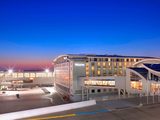
    The region’s airport, in Romulus. The Wayne County Airport Authority runs it, it handles about 31 million passengers a year, and it’s Delta’s second-largest hub. Its two terminals are McNamara and Evans.

  • Huron-Clinton Metroparks ↗

    A park system shared by five counties: voters in Livingston, Macomb, Oakland, Washtenaw and Wayne approved it in 1940. Today it’s 13 parks and nearly 25,000 acres of woods, water and recreation, funded by a shared property tax plus entry and user fees.

  • Detroit Institute of Arts (a három megye múzeuma) ↗

    Since August 2012 the DIA has been partly funded by a shared tax in the three counties, renewed by all three on March 10, 2020. In return, Wayne, Oakland and Macomb residents get free unlimited general admission and discounted special-exhibition tickets.

  • Detroit Zoo ↗

    The zoo in Royal Oak has been backed by a tri-county property tax since 2008, renewed by voters in 2016. Oakland County’s November 3, 2026 ballot asks voters to renew it again for 2028 through 2037.

  • Great Lakes Water Authority (GLWA) ↗

    Since January 1, 2016 it has run the former Detroit water and sewer system’s treatment plants and trunk lines on a 40-year lease. It was created in fall 2014 during the city’s bankruptcy; Detroit appoints two board members, and Oakland, Macomb and Wayne counties and the state one each. About 3.7 million people drink its water.

  • SEMCOG ↗

    The local governments’ shared planning and data office since 1968, covering seven counties. It supports members with data analysis and direct help, publishes yearly population estimates for every community in the region, and advocates for Southeast Michigan in Lansing and Washington.

  • Woodward Dream Cruise ↗

    It began in August 1995 as a fundraiser for a soccer field in Ferndale, and nearly 250,000 people showed up the first year, ten times what organizers expected. Organizers say it now draws nearly a million people and 40,000 classic cars to Woodward from Ferndale to Pontiac each year; the 2026 cruise was on August 15.

WMrapids · CC0

10 / Across the river

Canada is south of here

Look at a map and you’ll do a double take: Windsor, Canada, is south of Detroit. It sits on the south bank of the Detroit River, right across from downtown, and it’s Canada’s southernmost major city. It doesn’t count in Metro Detroit statistics, since US metro areas only cover the United States and Puerto Rico and Windsor has its own Canadian metro area. But it’s very much part of the border region: people there watch Detroit TV, and Visit Detroit works with both sides of the river.

Bridges and a tunnel have tied the two cities together for almost a century. The Ambassador Bridge opened on November 15, 1929, as the largest suspension bridge in the world until the George Washington Bridge passed it two years later. The Detroit–Windsor Tunnel followed on November 3, 1930, linking the two downtowns under the river.

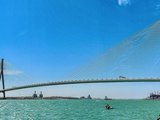
On July 27, 2026 a new chapter began: the Gordie Howe International Bridge opened to traffic, linking Michigan’s I-75 directly with Ontario’s Highway 401. Its 853-meter (2,799-foot) main span is the longest cable-stayed span in North America, its US port of entry was built in Detroit’s Delray neighborhood, and its walking and biking path opened on August 5, 2026, free of charge.

Windsor calls itself the Automotive Capital of Canada: Stellantis builds minivans there and Ford makes engines. Two shores, one industry.

More on Windsor →

11 / The Hungarian thread

From Delray to Downriver

Detroit once had its own Little Hungary. In the late 1890s Hungarian workers poured into Delray, the riverfront district in southwest Detroit, many of them from Cleveland, Toledo and South Bend, drawn by better pay at its iron works and chemical plants; Michigan Malleable Iron started up there in 1898. By 1911 the Detroit Free Press was calling Delray a Hungarian colony of about 5,000.

The church was the heart of it all. Holy Cross Hungarian Catholic parish was founded on May 8, 1905; its twin-towered brick church, designed by Henrik Kohner, was dedicated on September 20, 1925. There’s still a Hungarian Mass on Sundays, and in 2005 the parish described itself as the only Hungarian Roman Catholic church in Michigan. Hungarian Reformed believers organized their first Delray congregation even earlier, on December 14, 1904.

After the 1956 revolution a new wave of refugees arrived in Delray. Then came the decline: a wastewater plant went up in the neighborhood in 1940, and in the mid-1960s construction of I-75 destroyed much of Delray and split it in two. Families moved Downriver, to the riverside suburbs south of the city: Allen Park, Lincoln Park, Melvindale and Riverview, and some to Taylor.

The Hungarian thread still runs Downriver. The American Hungarian Reformed Church in Allen Park is the only survivor of the four Hungarian Reformed congregations that once served the Detroit area, and the Hungarian American Cultural Center on Goddard Road in Taylor is where veterans of the 1956 revolution were still holding yearly gatherings as of 2006. And a twist: the US end of the Gordie Howe bridge, opened in 2026, touches down right in Delray, old Little Hungary.

12 / FAQ

What everyone asks

Is Ferndale in Detroit?

No. Ferndale is its own city in Oakland County, just north of Detroit along Woodward Avenue; it’s been a city since 1927, and its downtown sits around 9 Mile and Woodward. It’s part of Metro Detroit, which is why we label it that way.

Is the airport in Detroit?

Not quite. DTW, officially Detroit Metropolitan Wayne County Airport, is in Romulus, about 18 miles southwest of downtown. The Wayne County Airport Authority runs it.

Is the Detroit Zoo in Detroit?

No, it’s in Royal Oak, in Oakland County. It opened on August 1, 1928, the City of Detroit owns it, the nonprofit Detroit Zoological Society runs it, and residents of Wayne, Oakland and Macomb help fund it through a shared tax.

Is Ann Arbor part of Metro Detroit?

Depends which definition you use. In federal statistics Ann Arbor (Washtenaw County) is its own metro area, so it’s not in the six-county Detroit metro, but it is in the wider Detroit–Warren–Ann Arbor combined area and in SEMCOG’s seven counties. The D2A2 express coach links the two downtowns directly.

Is Windsor part of Metro Detroit?

Not statistically: it’s in Ontario, Canada, with its own Canadian metro area. In everyday life it’s very close, though: it’s just across the Detroit River, two bridges and a tunnel connect it to the city, people there watch Detroit TV, and Visit Detroit works with it too.

Why does an event say Metro Detroit?

Because the venue isn’t inside the City of Detroit but somewhere in the surrounding region’s 200-plus municipalities. That way you know right away you’re not heading downtown but to, say, Royal Oak or Dearborn, so it’s worth checking how to get there.
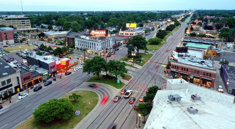
How big is Metro Detroit?

The official six-county metro area had about 4.39 million people at the 2020 census, and the July 1, 2025 estimate is about the same, making it the 14th largest in the country. The ten-county combined area counted about 5.42 million in 2025, 12th in the nation.

What’s the difference between Detroit and Metro Detroit?

Detroit is one city with its own borders in Wayne County. Metro Detroit is the region that grew around it: more than 200 municipalities, independent cities, villages and townships, each with its own local government. Only about one in seven people in the region lives inside the city limits.

Which county am I in?

If you’re in Detroit, you’re in Wayne County. 8 Mile Road is the big dividing line: north of it you’re in Oakland or Macomb County. Area codes help too: 313 is Detroit and nearby Wayne County cities, 248 and 947 are Oakland, 586 is Macomb, and 734 is western and Downriver Wayne County plus Washtenaw and Monroe.
Can I get around without a car?

Partly. DDOT buses cover Detroit and some neighboring cities, SMART covers the suburbs, and a shared DART pass works on both. The QLINE streetcar runs on Woodward and the D2A2 express coach goes to Ann Arbor; check schedules ahead of time.
Sources

Every number and fact here has a source. Population figures come from the 2020 US Census and the Census Bureau’s latest estimates; boundaries come from Census Bureau map files.
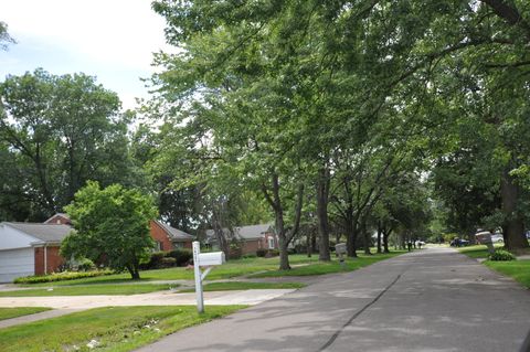
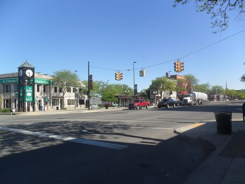
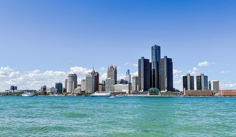
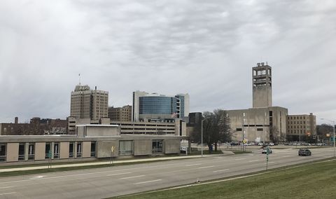
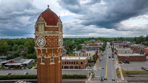
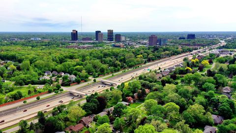
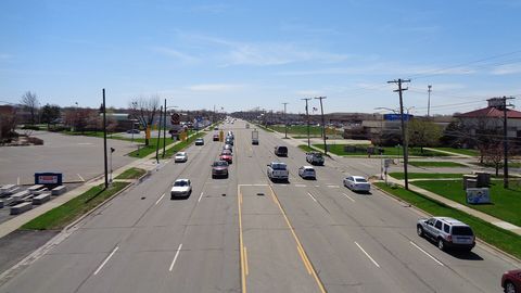
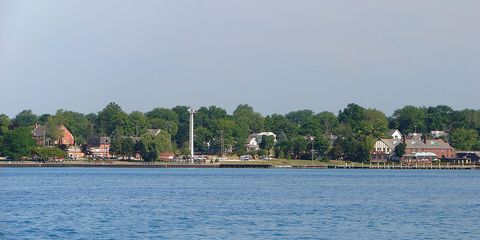
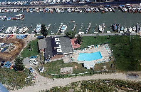
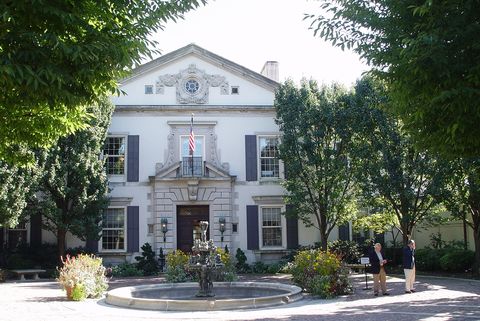
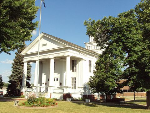
Photos: Detroit: TheWxResearcher · CC0 · Royal Oak: Lrgjr72 · CC BY-SA 4.0 · Ann Arbor: WeaponizingArchitecture · CC BY-SA 4.0 · Dearborn: CoolRockC · CC BY-SA 4.0 · Hamtramck: Andrew Jameson · CC BY-SA 3.0 · Ferndale: Lrgjr72 · CC BY-SA 4.0 · Wyandotte: Dethistoricaler at English Wikipedia · CC BY 3.0

Save the plan. Share the moment.

quarterdetroit.comWhat is Metro Detroit? The map, the towns, the meaningHere’s what your friends will see
More ways to shareDiscord · Viber · Instagram · Microsoft Teams · Slack · LINE · Pinterest · Tumblr · Mastodon · Nextdoor · Flipboard · Gmail · Outlook · Yahoo Mail · With a QR code

With a QR code

Scan it with another phone, or hold it up to a friend’s camera.